Since we were in coastal Carolina for the winter break, we wanted to explore some new hiking trails. We have hiked the
Tideland National Recreation Trail the past few years. This is a really pretty trail, but it's only 1.3 miles so it's not really that exciting if you have done it a few times. They actually run the
Croatan 24 Hour Race on this trail. While it would be super flat and pretty flat because the trail is packed gravel and boardwalk, it would be mind numbingly boring. I might give it a go one year anyway just for kicks.
 |
| So you see, beautiful, but easy and flat. |
Anyway, I went googling for more trails in
Croatan National Forest. There are a 160,000 acres of coastal forest so I figured there had to be some decent trails. I quickly discovered that Neusiok Trail was the gem of the area, but it was a bit farther than we wanted to drive for a day hike. There is also an ultra on this trail,
Neusiok Trail Run, with 20 mile, 40 mile, and 100K options. Next time we are in the area, I really want to check that trail out.
Finally, I find a trail that is close enough to our general area that it makes sense for us to hike it. Weetock Trail is maintained by the
Carteret County Wildlife Club and some sections are not officially approved by the Forest Service so it is really difficult to find information on this trail. I found some blogs that talked about how the trail was not well maintained and not well marked so I wasn't too encouraged. However, I finally found a post by a trail runner that said that the trail was great as well as finding that a group had hosted a
trail half there in March 2014. The north end of the trail begins just off of NC 58 near Haywood Landing just past Mayville. The south end (which we did not visit) begins off NC 58 and Hill Field Road. You can also access along the forest roads from Haywood Landing and Long Point. We found that the best point to park was Haywood Boat Landing. There is a marked turn off of NC 58 for Haywood Landing and then you follow the signs for the boat launch. There is one tricky stop sign where there are no signs, and we discovered that you need to take a right at that sign to end up at the boat landing. There is a pit toilet and ample parking at the boat landing. Once we arrived at the boat landing, we weren't quite sure where the trail started, but we quickly discovered it behind the pit toilets.
 |
| Trail head is down that section to the left behind the pit toilet. |
 |
| View of Haywood Boat Landing |
The entire trail is supposed to be 11 miles long. We were just interested in a short day hike so we did 2.5 miles out and back from the north end. This trail is really well marked with metal blazes on the trees.
 |
| Metal blazes that show up really well and would be super easy to follow even for a night hike. |
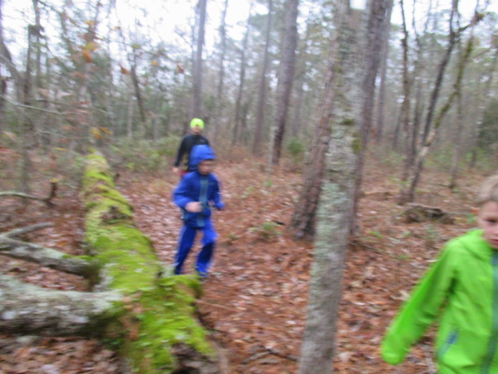
We had no trouble finding the trail. It weaves through beautiful coastal forest, and it is really pleasant in the winter months. It was still pretty wet so be prepared to get muddy and have wet feet, but everything was passable.
 |
| Some of the wet areas that had trickier crossings if you wanted to keep your feet dry. |
After a big rain, it probably gets a lot more swampy, and this trail would be particularly unpleasant in the summer with heat, humidity, and insects. There were a number of boardwalks built over the really wet areas, and plenty of markings when the trail crossed over a forest road.
 |
| Boardwalk crossings |
 |
Trail signs at road crossings
|
If you are interested in running the trail, most of it is really runnable with no elevation gain, but there are a few sections where the mud makes the trail quite slick. Otherwise it's not very technical and would make for an easy run.


No comments:
Post a Comment